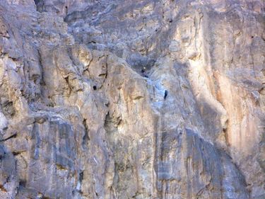
Black Void Canyon
| Rating: | |||||||||||||||||||||||||||||||
|---|---|---|---|---|---|---|---|---|---|---|---|---|---|---|---|---|---|---|---|---|---|---|---|---|---|---|---|---|---|---|---|
| | Difficulty:3A III (v3a1 III) Raps:6, max ↨210ft
Red Tape:No permit required Shuttle:None Vehicle:Passenger | ||||||||||||||||||||||||||||||
| Location: | |||||||||||||||||||||||||||||||
| Condition Reports: | 28 Feb 2025
"Quick trip through a steep side drainage of Fall Canyon. All anchors were left in good condition. R1 had a courtesy option which could be nice for gro |
||||||||||||||||||||||||||||||
| Best season: | Nov-Mar (avg for this region)
|
||||||||||||||||||||||||||||||
| Regions: | |||||||||||||||||||||||||||||||
Introduction[edit]
Short canyon day. Pretty views down into Fall Canyon. Accessible by passenger car, if driven carefully.
Beware of difficult rope pulls on the last two rappels.
Approach[edit]
Park at the vault toilet at the exit of Titus Canyon. (You can drive up from Scotty's Castle Road/North Highway to this point.)
Descent[edit]
Expect single knot-chocks as the anchor on a couple rappels. Beware of difficult rope pulls on the last two rappels.
1st rap is very fluted at top. Drops about 155 feet in four stages.
The middle three raps are all under 100 feet.
Last rap is about 160-220, depending on current anchor (rock chock vs. pinch point vs. horn). Previous groups have utilized a small horn in the watercourse, which is very close to the edge, for the last rappel which, if used, shortens the last rappel to roughly 160ft.
Exit[edit]
Canyon exits in Fall Canyon. Walk down canyon and follow trail south to parking lot at the exit of Titus Canyon.
Red tape[edit]
Camping or sleeping in your car is not allowed at this trailhead.
Beta sites[edit]
 Super Amazing Map : Black Void
Trip reports and media[edit]
FIRST DESCENT TRIP REPORT 1-18-14:
Bogley Trip Report http://www.bogley.com/forum/showthread.php?77888-Black-Void-Tributary-of-Fall-Canyon-Grapevine-Mountains-Death-Valley-Feb-17-2018
Background[edit]
Originally explored by Scott Swaney & TEAM on 1-18-14 - SEE TRIP REPORT ABOVE FOR DETAILS
