Cañon Acatachico
| Rating: | |||||||||||||||||||||||||||||||
|---|---|---|---|---|---|---|---|---|---|---|---|---|---|---|---|---|---|---|---|---|---|---|---|---|---|---|---|---|---|---|---|
| | Difficulty:3B III (v4a3 III) Raps:7, max ↨177ft
Red Tape:Permit required Shuttle:Required 30 min Vehicle:High Clearance Rock type:Basalt | ||||||||||||||||||||||||||||||
| Location: | |||||||||||||||||||||||||||||||
| Condition Reports: | 7 Nov 2024
"Fun day in a colorful canyon! We followed the gpx route in ropewiki for the approach, and it followed a boulder wall, social trail through tall grasse |
||||||||||||||||||||||||||||||
| Best season: | Jun-Oct
|
||||||||||||||||||||||||||||||
| Regions: | |||||||||||||||||||||||||||||||
Introduction[edit]
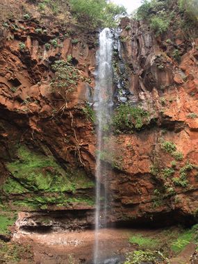
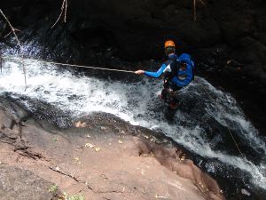
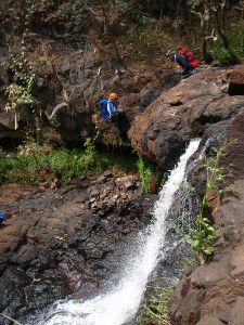
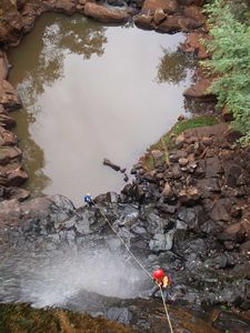
This lovely canyon is located about 1.5 hours NE of Guadalajara, and is a side canyon leading into the bigger Rio Verde Canyon. It is also situated within Rancho Venado, a private ranch that charges admission as at the bottom of the access road there is a zone of hot springs next to the Rio Verde. The main attraction of Canyon Acatachico apart from the flat approach hike and 5 minute exit hike is the central 54m high cascade that is free hanging after the first 10m. As the water flow here drops off quickly after the rainy season it is best done during the rainy season or just after.
Approach[edit]
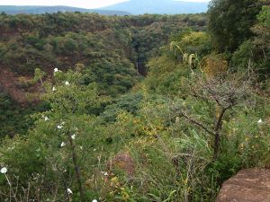
One takes the eastern higway out of Guadalajara and continues on the autopista until the Acatic exit. After passing through the town of Acatic, one takes a left turn and follows the signs to Rancho Venado. After entering the ranch and paying the fee (100 pesos p/p in 2014), continue allow the road until at the edge of the canyon. People can get out there, while a car is taken to the exit point just before a bridge over the access road. To get to the Acacachico canyon, follow the rim of the canyon to the right (NE), until hitting the water.
Descent[edit]
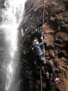
R1 - 27m, tree l
R2 - 15m, bolt r.
R3 - 54m, 3 bolts r.
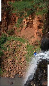
R4 -cascade / ramp 12m 1 bolt l.
S1 - 4 a 6m
S2 - 5m
R5- 3m tree r.
R6 - 8m 2 bolts l.
Exit - left
R7- 8m 1 bolt
Exit[edit]
Just before R7 climb up the bank on the left side, hopefully finding the old trail that zig zags up over the low ridge, and drops over the other side right at the car. About 5 minutes to the car.
Red tape[edit]
This canyon is located on the commercial Rancho Venado and they charge an entrance fee (150 pesos p/p in 2024). It may be possible to negotiate a lower fee is only wanting to do the canyon and not visit the hot springs.
Beta sites[edit]
 JaliscoVertical.Weebly.com : ACATICHICO
 Cañonismo.com : Acatichico
Trip reports and media[edit]
a Video from the second descent in Oct. 2011 - http://youtu.be/6Lim4Fsb_Xo
Background[edit]
This canyon was explored by Luis Medina, Lucy Andrades, Sergio Javier and Chris Lloyd on 24 Sept. 2011.
