Cañon Guayaberas
| Rating: | |||||||||||||||||||||||||||||||
|---|---|---|---|---|---|---|---|---|---|---|---|---|---|---|---|---|---|---|---|---|---|---|---|---|---|---|---|---|---|---|---|
| | Raps:10-12, max ↨121ft
Red Tape:No permit required Shuttle:Optional 15 min Vehicle:High Clearance | ||||||||||||||||||||||||||||||
| Location: | |||||||||||||||||||||||||||||||
| Condition Reports: | |||||||||||||||||||||||||||||||
| Best season: | Jan. to June
|
||||||||||||||||||||||||||||||
| Regions: | |||||||||||||||||||||||||||||||
Introduction[edit]
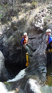
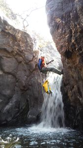
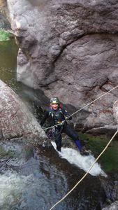
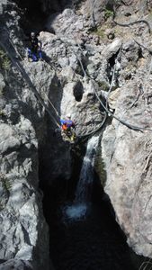
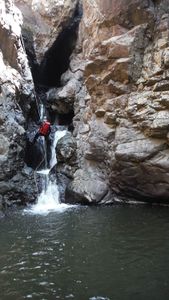
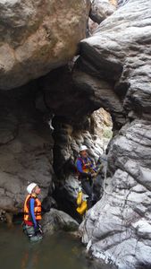
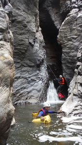
Located 9km NW of the town of Santa Lucia on the western outskirts of the city of Zapopan, this is a good canyon to do in the dry season once water levels have dropped enough. Lots of easy swimming and 12 nice, mostly short rappels.
Approach[edit]
From the town of Santa lUcia one heads north past La Mesita, then take the left fork that heads to Palo Gordo. After the long downhill the upper parking place is just after the cow grate. A second vehicle can be left along the road to Loma Blanca for the return. From the upper parking spot hike straight south on an indistinct trail that drops down and crosses Arroyo Fria, then climbs back up before dropping steeply into Arroyo Guayaberas.
Descent[edit]
R1 10m – 2 bolts r.
R2/3 5m – 2 bolts l.
R4 8m - 2 bolts r. + 1 bolt for handline
S1 – 1m
R5 12m – 2 bolts r
R6 5m –1 bolts r
R7 15m – 2 bolts r
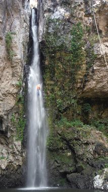
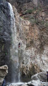
R8 37m – 2 bolts r.+ 2 bolts for handline; (The Carwash)
R9 10m - 2 bolt r
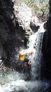
R10 - 10m – 2 bolts r. + 1 bolt for handline; (The Dishwasher)
r1 3m
S2 – 2m
R11 – 10m – 2 bolts l.
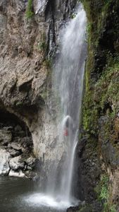
R12 – 31m – 2 bolts l. (Plan de Limon)
Note water level should be checked carefully before committing to R5, as R8 - The Carwash - is formed in a deep slot which forces one into the full pounding force of the water.
Exit[edit]
After R12 follow the stream over big blocks on the right side for about 100m to where you can leave the stream course and get up onto an old road. Follow road up out of canyon back up to parked car.
Red tape[edit]
Beta sites[edit]
Trip reports and media[edit]
Background[edit]
This canyon was first explored for canyoneering by Aaron Seco Extremo, Chavaman and Chris Lloyd on 22 of Mar 2015, and then completely descended on 5 April, 2015 by Alberto Cortes, Jorge Robles, Eduardo Gatell and Chris Lloyd.
