Conditions:Cascade Canyon-20191014051937
Latest: |
13 Oct 2019 (6 yrs, 4 mos ago) |
|---|
| Reported by: | MTK (2 reports) | |
|---|---|---|
| Quality: | Poor |
|
| Waterflow: | Dry |
|
| Wetsuit: | None |
|
| Water temperature: | ||
| Difficulty: | Special challenges |
|
| Time:
"n/a" is not a number. |
File:TimeX.png hourExpression error: Unexpected = operator. | File:BarX.png |
Team: 2 people with experience level Intermediate to Advanced
Trip report URL:
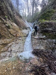
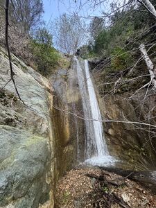
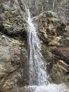
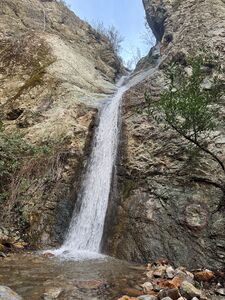
Comments: Wish I had seen Jcsjcs' report - entirely filled in and an impossible approach. Ignore the gpx file and head over to the intersection of the road with the watercourse to enter the canyon. We bailed in the first 1/4-1/2 mile of descent from the road intersection as we were ill-equipped to deal with all of the poison oak and thorns.
All condition reports
| Date | Quality | Waterflow | Wetsuit | Difficulty | Time | Team | Reported by |
|---|---|---|---|---|---|---|---|
| Amazing | Low | Thin wetsuit | Special challenges | | 2 people | Willie92708 (1018 reports) | |
| Unknown | | None | Nontechnical | | 2 people Intermediate to Advanced | Kenglaze (8 reports) | |
Comment: We hiked to the indicated drop in point shown on the map and confirmed by GPS. No trail or path was observable and we scoured the area for at least 100 yards up and down the marked road. Observing the ridge that is to be traversed to get down into the canyon (from a convenient outlook point along the road) showed nothing but very dense thorny brush that appeared impassible with out body armor. We decided to turn back in favor of another classic canyon in the area.
note: If anyone that knows the route would be interested in meeting up with us and re-establishing the access rout, we would be down to help out!
| |||||||
| Poor | Dry | None | Special challenges | File:TimeX.png hourExpression error: Unexpected = operator. File:BarX.png | 2 people Intermediate to Advanced | MTK (2 reports) | |
Comment: Wish I had seen Jcsjcs' report - entirely filled in and an impossible approach. Ignore the gpx file and head over to the intersection of the road with the watercourse to enter the canyon. We bailed in the first 1/4-1/2 mile of descent from the road intersection as we were ill-equipped to deal with all of the poison oak and thorns.
| |||||||
| Poor | | | | | Jcsjcs (144 reports) | ||
Comment: The approach to Cascade Canyon has gotten filled in with extremely dense bushes. I wasn't able to leave the road at the GPX drop in coordinate due to the bushes and continued to the intersection of the canyon with the road, but that wasn't any better -- a thick network of thorns made travel down the canyon impossible. So I had to bail.
| |||||||
| Poor | Very Low | None | Easy | | 4 people Intermediate to Expert | Dangel (160 reports),Jessie Leila (17 reports),Morgan (103 reports) | |
Comment: Cascade canyon is an absolute gem, and, one of the best kept secrets of the San Gabriels.
On the approach dust swirled around us as we slid through a wondrously wide variety of chaparral taller than I am. Approaching the first anchor there was a gorgeous field of t. diversilobum. While water levels were the lowest I've seen in my four trips, there were many frogs chirping at us and marvelous clouds of insects were curious about our lights. There were still a few purple and red flowers blooming in the dam shady sections of canyon. We ghosted the first rappel, replaced webbing on the second. The third rappel has two bolts in the water course and is a really pretty section of canyon with a rolly-poly family living on it. We washed and splashed in San Antonio creek when we hit the confluence then hiked out. Nobody's car was broken into.
| |||||||


