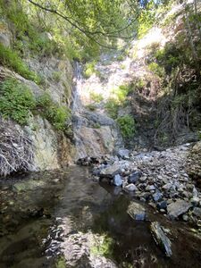
El Prieto Canyon
| Rating: | |||||||||||||||||||||||||||||||
|---|---|---|---|---|---|---|---|---|---|---|---|---|---|---|---|---|---|---|---|---|---|---|---|---|---|---|---|---|---|---|---|
| | Difficulty:3B IV (v3a2 IV) Raps:12+, max ↨130ft
Red Tape:No permit required Shuttle:None Vehicle:Passenger Rock type:Granite | ||||||||||||||||||||||||||||||
| Location: | |||||||||||||||||||||||||||||||
| Condition Reports: | 4 Jul 2023
"First (partial) descent woo. Pretty sweet place if you can get over the approach and exit.. We moved at .1mph for 8 continuous hours but did not f |
||||||||||||||||||||||||||||||
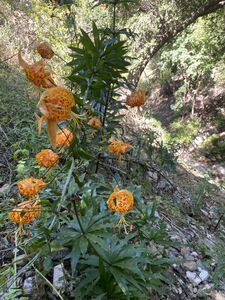
| Best season: | Late June for best wildflowers. Spring for weather.
|
||||||||||||||||||||||||||||||
| Regions: | |||||||||||||||||||||||||||||||
Introduction[edit]
A logistically and physically demanding canyon. If you prefer your canyons obscure, with frequent nuisance rappels, and challenging approach hikes, this canyon is a marvelous choice and has some hidden gems for you. This beta is a curious entry because the first descent party did not do an approach hike, OR complete the canyon. They have left further exploration down canyon as an exercise for the reader. The author has not run Saucer Branch but suspects this is a solid alternative for the same amount of work.
Approach[edit]
First achieve the saddle of Brown Mountain. If you were lucky enough to receive a shuttle ride from an official vehicle with the keys to the gate, then you will only need to hike 2 miles or so to the drop in, having saved yourself many miles of hiking and something like 3000ft of elevation gain. Stop at the friendly stand of oak trees just below the saddle opposite the canyon to water and fuel up for your descent.
Descent[edit]
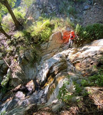
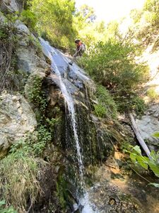
Don't expect to travel much faster than 0.1-0.2 miles per hour most of the descent. The first 0.2 miles of descent is a serious bushwhack which eventually, thankfully, gives way to sculpted gullies of granite and troughs of sand. Midway, the route meets with another drainage to the west and water begins to flow through the canyon.
R1 40ft - Workaround exists DCR
R2 40ft - Bush DCR
R3 30ft - Bush DCR
R4 25ft - Downclimb to a rock horn DCR
R5 10ft - Perhaps a downclimb for many groups?
R6 15ft - Bush DCR
R7 90ft - Bush DCL
R8 3ft - Tree DCL. Downclimb for some groups. (Confluence. Water began here from a canyon to the west)
R9 130ft - Tree DCR
R10 80ft - Tree DCR
R11 80ft - Three stage off Burnt Oak Tree DCR
R12 50ft - Tree Middle of canyon
R13 Perhaps more?
Exit[edit]
If you were lucky enough to participant in a search and rescue mission, and you have not yet found your subject, summon a helicopter and leave the canyon without completing the last half mile of the route. If you don't possess the ability to activate these resources, enjoy the mystery hike. Please report back to claim your "First FULL descent of Boom canyon" award.
Red tape[edit]
Beta sites[edit]
Trip reports and media[edit]
Background[edit]
First known descent by David Angel, Mark Kinsey, and Juan Mayans on July 4th 2023 while searching for a missing person. The USGS topomap seems to indicate the name as El Prieto, but it's not perfectly clear. There could be multiple forks explored in the future so perhaps this could be "Boom fork". "Boom" in Dutch means "tree", and many booms were heard on this date. This beta stands as proof that plenty of large first descents still exist in the San Gabriels if you're willing work hard.
