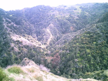
Rice Canyon (East Fork)
| Rating: | |||||||||||||||||||||||||||||||
|---|---|---|---|---|---|---|---|---|---|---|---|---|---|---|---|---|---|---|---|---|---|---|---|---|---|---|---|---|---|---|---|
| | Difficulty:3A I (v3a1 I) Raps:4, max ↨40ft
Red Tape:No permit required Shuttle:None Vehicle:Passenger | ||||||||||||||||||||||||||||||
| Location: | |||||||||||||||||||||||||||||||
| Condition Reports: | 4 Jan 2016
"It was light rain showers in Pasadena the night and week before our visit. The weather forecast indicated rain 10AM in the San Gabriel Range so we hea |
||||||||||||||||||||||||||||||
| Best season: | Anytime
|
||||||||||||||||||||||||||||||
| Regions: | |||||||||||||||||||||||||||||||
Introduction[edit]
A short canyon in the Newhall pass area.
Approach[edit]
Starting from the Rice/East Canyon trailhead (34.350548, -118.545955), start up the trail. At the first junction, take the East Canyon trail. At the next junction, bear right (Saugus to the Sea Rd. At the junction at the top of the hill, bear right again. There are some variations possible here. If you take the main road on the top of the ridge, enter the first or second drainage to the north. The second drainage is the main one. From the junction if you take one of the minor trails instead of the main road, take the trail as far as you can then work your was to the bottom of the drainage. Start going downstream.
Descent[edit]
It is a short shady canyon with four rappels along the way. The last one is the highest at 40 feet.
Exit[edit]
After last rappel, continue downstream. When a trail finally parallels or crosses the creek, take that trail. At a junction, go left to get back to your car.
Red tape[edit]
No camping. Avoid going crossing into the private property at the top at the junction with the Mission Trail Sign of the fire road approach. On the other side of the gate there may be a patrol person that will give you a warning.
