Sunken Treasure
| Rating: | |||||||||||||||||||||||||||||||
|---|---|---|---|---|---|---|---|---|---|---|---|---|---|---|---|---|---|---|---|---|---|---|---|---|---|---|---|---|---|---|---|
| | Raps:4-5 + downclimbs, max ↨72ft
Red Tape:No permit required Shuttle:None Vehicle:Passenger Rock type:Granite | ||||||||||||||||||||||||||||||
| Start: | |||||||||||||||||||||||||||||||
| Parking: | |||||||||||||||||||||||||||||||
| Condition Reports: | 13 Apr 2024
"Low flow conditions. Canyon is worth doing once... but given the dearth of canyons in the area I would not be making a special trip back to do it agai |
||||||||||||||||||||||||||||||
| Best season: | Nov-April
|
||||||||||||||||||||||||||||||
| Regions: | |||||||||||||||||||||||||||||||
Introduction[edit]
This canyon is described in comprehensive detail in Canyoning Around Victoria guidebook
There is some useful previous rainfall data available from the BOM Cabramurra SMHEA AWS {station 072161} - http://www.bom.gov.au/climate/dwo/IDCJDW2023.latest.shtml
Approach[edit]
~30mins to mountain bike ~5km from the gate on the fire road just East of Ogilvies Picnic Area. Or approximately a 1 hour 15 minute hike in from the same starting point. This takes you to the start of the bush bash just before Deep Creek Dam.
Leave your moutain bikes and/or gear you don't' need or want to get wet, at the dam for a quick exit. You can also chain them to the dam railings if you're concerned about leaving them.
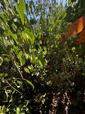
Bush bash up the last ascendable spur before the dam. The area to ascend looks prone to slips. It is steep and thick with juvenile Eucalypt re-growth since the 2020 fires - expect some tree swimming. Continue until you reach the junction of Deep Creek and it's first small tributary (as deep creek bends briefly to SSW).
Note that the regrowth is so thick that making your way from the fire trail to the start of the canyon will likely take approximately 1 hour.
Descent[edit]
See the Canyoning Around Victoria guidebbook for a great topo.
Tips[edit]
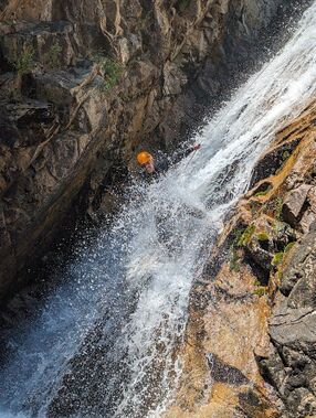
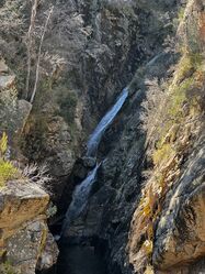
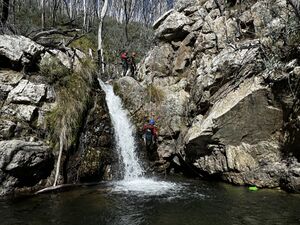
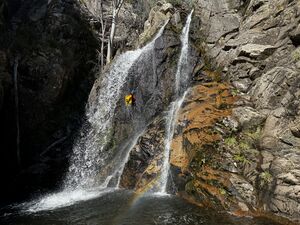
- There are around 4-5 abseils with optional jumps.
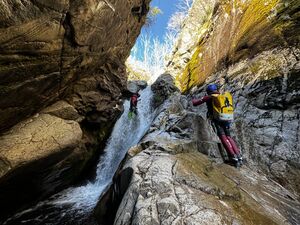
- Some down climbs may require supporting your team via a meat anchor and spotting the last person down
- The longest abseil being ~22m at R5.
- R6 is probably longer than the suggested 15m - possibly around 16-17m.
- R7 ends in water that can be highly aerated.
Photos[edit]
Exit[edit]
Minimise your time in the dam - get to the ladder and climb out. Hop on your bikes and ride back to the car. Alternatively, walk.
Red tape[edit]
Access roads may be closed in winter due to snow and ice.
