West Gold Hill Dinosaur Trackway
| Rating: | |||||||||||||||||||||||||||||||
|---|---|---|---|---|---|---|---|---|---|---|---|---|---|---|---|---|---|---|---|---|---|---|---|---|---|---|---|---|---|---|---|
| | Difficulty:POI 1A I (v1a1 I) Raps:
Red Tape: Shuttle: Vehicle:Passenger Rock type:sandstone | ||||||||||||||||||||||||||||||
| Start: | |||||||||||||||||||||||||||||||
| Parking: | |||||||||||||||||||||||||||||||
| Condition Reports: | |||||||||||||||||||||||||||||||
| Best season: | May-Oct
|
||||||||||||||||||||||||||||||
| Regions: | |||||||||||||||||||||||||||||||
Introduction[edit]
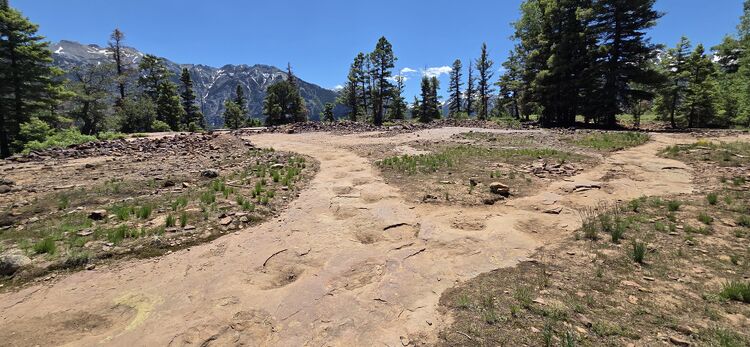
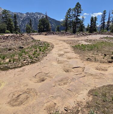
The world's longest continuous Dinosaur Trackway is in Ouray! Dating back to the Jurassic, this is only one of a handful of examples of dinosaur tracks, which capture a turn in direction.
Hike[edit]
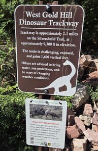
Hike the Silvershield trail out and back a few miles to the track site. The trail provides great views of the Gold Mountain Via Ferrata Route and Bridalveil Creek. The waterfalls in Bridalvell Creek will have big flow in June during the hotter days ending the snowmelt season.
It is also possible to hike up steeper switchbacks on the Oak Creek Trail to Twin Peaks Trail to Sivershield Trail, but most prefer the longer and more gentle grade of the Silvershield Trail described here.
Sauropod Tracks at the end of the hike:

Red tape[edit]
Beta sites[edit]
Silvershield Trail hike on AllTrails
Route description on GJHikes Includes video and more photos

